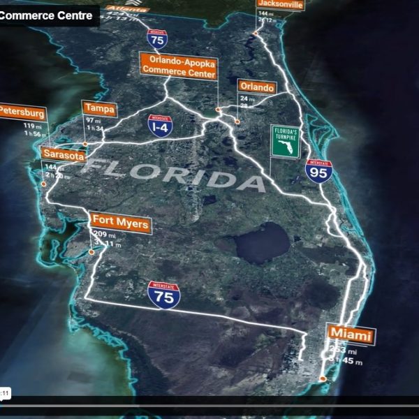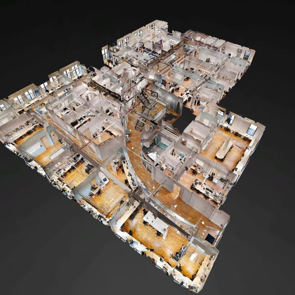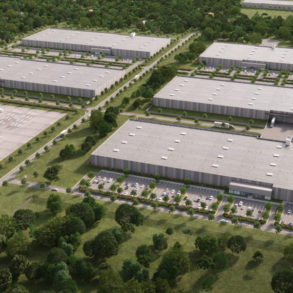


Our proprietary aerial environment allows users to interact and gain a comprehensive understanding of an entire submarket, metro area, and specific site. Along with the interactive interface, you’ll be able to download still HD imagery for use in print materials!
Include important information such as corporate neighbors, parking availability, proximity to airports & major interstates, financial & statistical data, and key market demographics – essentially anything you would include in a brochure or OM can be integrated into this visual environment.
See Examples Below